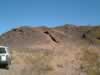
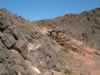
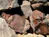
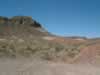
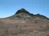
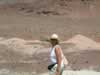
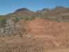
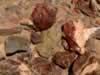
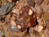
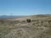
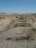
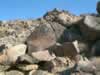
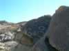
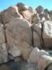
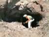
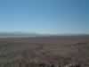
Cady Mountains Rockhounding & Mesquite Spring Petroglyphs


There were several barite mines as the powerline road meets the hills. (67kb) A good look at the headframe. (92kb) The rather plain hill that Mitchell refers to as Site A really has some good material. (50kb) A close-up of some samples. (100kb) The calcite crystals are up the hill to your left. (58kb)
It's a steep climb. (55kb) The steep climb pays of with rhombohedral calcite crystals. (84kb) Jamie hiking up to the crystal site. (67kb) The jasper site at the red and yellow hills. (Page 72, site C from Gem Trails of Southern California.) (85kb) A close-up of the material that can be found at the jasper hills. (99kb)
Another shot of the jasper hills material. (107kb) A trip up a side wash revealed a headframe and shaft. (62kb) The area behind the headframe seems to serve as a natural tank. (77kb) It's dry now, but you can see by the vegetation that it provided needed water. (107kb) This is a look at the shaft itself. (98kb)
Looking south along the T&T berm. (88kb) Looking north along the T&T berm as we approach the Mesquite Hills. (78kb) Beyond the springs is a hillside of petroglyphs. The next pics show more of the variety. (89kb) 20.jpg (64kb) 21.jpg (80kb)
22.jpg (72kb) Setting up camp on Mesquite Dry Lake and looking through the scope. (53kb) Sunset. (24kb) A bird's nest in the wash approaching the Old Dominion Mine. (104kb) Jamie checking out one of the tunnels at the Old Dominion Mine. (99kb)
It's a steep climb up from the car, which you can see below. In the upper left is the southern (37kb)