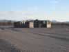
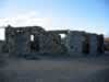
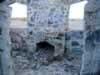
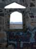
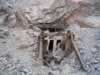
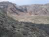
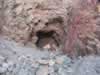
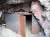
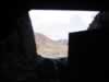
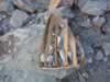
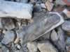
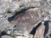
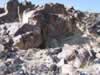
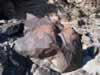
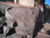
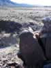
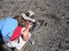
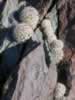
McCoy Mountains Petroglyphs


We encountered a stone cabin on our way to our campsite. (62kb) 02.jpg (60kb) 03.jpg (85kb) 04.jpg (61kb) Setting up camp at sunset. (39kb)
06.jpg (48kb) 07.jpg (38kb) Cookies around the campfire. (75kb) Shortly after we started hiking we came across this mine with an upper and lower tunnel.  Many of the claims in the area are for gold and uranium. (104kb) 10.jpg (60kb)
11.jpg (55kb) Looking toward our destination from the upper tunnel. (80kb) The lower tunnel entrance. (101kb) 14.jpg (79kb) 15.jpg (83kb)
16.jpg (25kb) core samples (89kb) 18.jpg (90kb) After we left the mine area we came across some historic graffiti. (107kb) 20.jpg (119kb)
The petroglyph site. (110kb) 22.jpg (107kb) 23.jpg (77kb) Most of the petroglyphs seem to center around this deep fissure in the rock face. (92kb) Hunting for more petroglyphs. (90kb)
What we believe to be the dim remains of an ancient Indian trail. (123kb) The trail was headed toward this low pass. (101kb) A large fishhook cactus. (93kb) A lone petroglyph high above the others. (96kb) A continuation of the Indian trail. (125kb)
Niki photographs a whole family of fishhook cacti. (116kb) We counted nine. (99kb) The Indian trail continues. (124kb) This petroglyph was found on the flats near the trail. (125kb) The trail appears headed towards the Mule Mountains.  The Mule Tank petroglyphs are about 8 miles from our present location.  (102kb)